
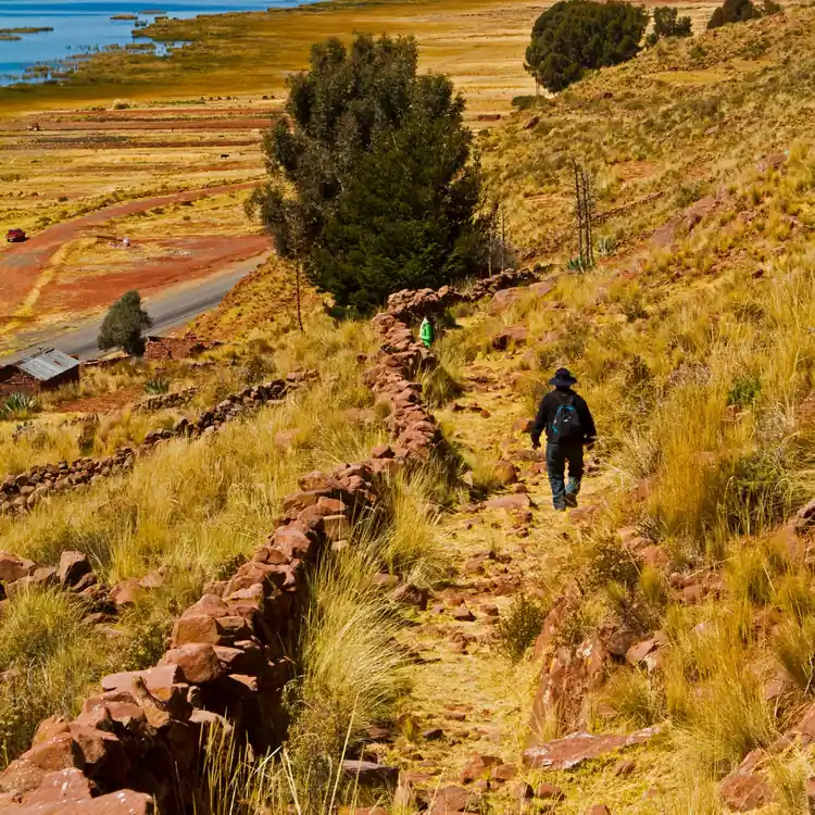
An Azuay-led project is using airborne lidar and field surveys to document the Qhapaq Ñan before modern land use erases more of its traces.
A heavy mapping drone flew above Ingapirca in Cañar this week, sending laser pulses toward the ground to uncover evidence of ancient routes that are difficult to see beneath vegetation and modern development.
The survey is part of the second phase of a project to document and protect the Qhapaq Ñan, the Andean road network recognized by UNESCO as World Heritage in 2014. Researchers are combining aerial lidar mapping with ground investigations along routes connecting archaeological sites in southern Ecuador.
The equipment used in Ingapirca weighs approximately 45 kilograms and carries a Zenmuse L3 sensor that records roughly 420 measurement points per square meter. Those observations help produce digital terrain models that can expose subtle features otherwise obscured in ordinary aerial photography.
The drone is not a device that can independently declare an ancient road discovered. Its measurements identify features worth studying. Archaeologists and specialists must compare the patterns with local history, the shape of the land and evidence visible on site before drawing conclusions about what they represent.
The survey has also covered Todos Santos, Chobshi, Shabalula and Cojitambo. The larger research framework traces connections from Todos Santos toward Paredones de Molleturo and Dumapara, and examines links toward Ingapirca and Chobshi. That geographical scope matters because these roads were part of networks of communication and exchange, not isolated stone paths.
An interdisciplinary team of 13 specialists includes archaeologists, historians, geologists, biologists, anthropologists and tourism professionals. Their work will help identify roads, walls, canals and other features and develop guidance for conservation and land management.
The dangers to the road system are contemporary. Urban expansion, farming, livestock activity, mining, deforestation and construction can damage traces of the network before researchers have documented them. Some routes also remain useful to residents, so protection policies must recognize the needs of people living nearby rather than treat the landscape as an empty archaeological reserve.
The project’s first-phase products are expected in January 2027. Further management and public-information materials are planned, with overall completion projected for April or May 2027. Funding is provided by $75,000 in non-repayable CAF financing for the first phase and a $60,000 Azuay provincial contribution for the second.
The central value of the work is documentation that can inform actual protection: where the routes pass, what remains, and how future roads, subdivision and development should avoid destroying it. The drone makes hidden terrain visible. Protecting what it reveals will be a separate decision.
0 Comments